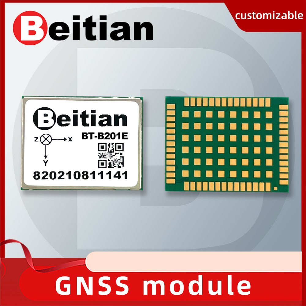
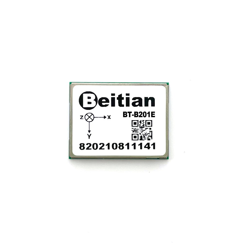
BT-B201E Precision GNSS+INS High-precision integrated navigation module

Technical characteristics
- Support BDS, GPS, GALILEO, GLONASS, QZSS multi-star solution
- RTK combination algorithm
- RTK fast initialization, typically better than 5s
- Support NTRIP RTCM3.x foundation enhancement data
- Long-term baseline RTK solution technology (40km+)
- Small size, good I/O compatibility, low power consumption
Product Description
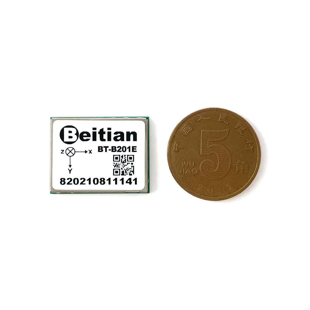
BT-B201E is a centimeter-level integrated navigation and positioning module that focuses on high accuracy and high reliability. It also has the characteristics of high integration, small size, good I/O compatibility, and low power consumption.
BT-B201E integrates GNSS receivers and IMUs that support BDS, GPS, GALILEO, GLONASS, QZSS, and adopts multi-band RTK and integrated navigation technology to achieve centimetre-level accuracy. BT-B201E can receive the resolved multi-frequency global navigation and positioning satellite signals at the same time, and can still provide high-reliability positioning data even under severe satellite signal obstruction, and provide uninterrupted navigation and positioning output, which is difficult for urban areas. The scene provides a reliable navigation and positioning solution.
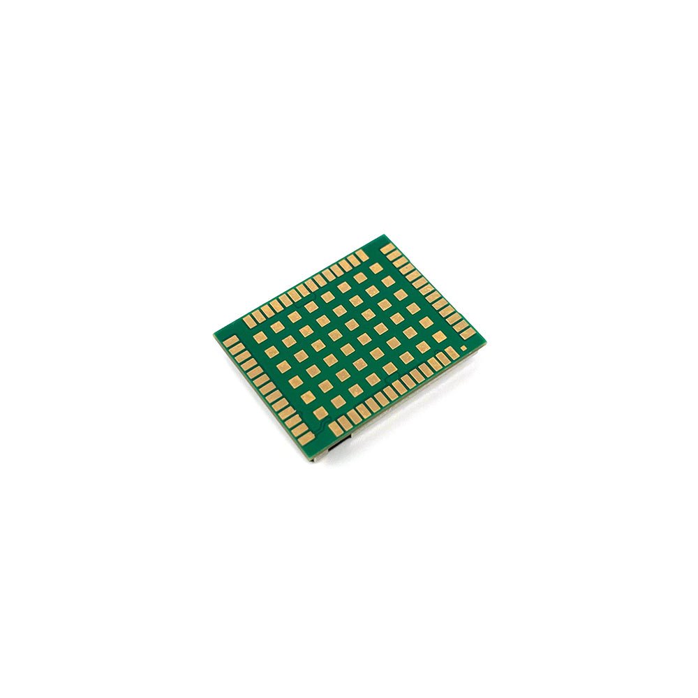
BT-B201E adopts 54-PIN LGA package with good I/O compatibility in line with the market, and the size is only 17mm*22mm. At the same time, we provide a wealth of development files and library function resources to make your development easier and faster.
Application scene
Applications such as ground robotics, smart driving, crowd sourced maps, smart lawn mowers, precision agriculture, machine control, and unmanned vehicles (UAV).
GNSS
GPS/QZSS √ GLONASS √ Galileo √ BeiDou √
Interface
UART 2
Protocol
NMEA-0183 √ FMI √ RTCM √
Other
IMU √


评价
目前还没有评价